Project The State and the Prospects of Slovene Return Migrations Project Duration: 1 January 2000–30 June 2002
Project Unexplored Latin and German Literature in the Slovenian Lands in the Baroque Period Project Duration: 1 July 2011–30 June 2013 Project Leader: Luka Vidmar, PhD ARIS Project ID: Z6-4251 (B)
Project ACUME – Cultural Memory in European Countries: An Interdisciplinary Approach Project Duration: 1 January 2003–31 October 2006 Project Leader: Vita Fortunati
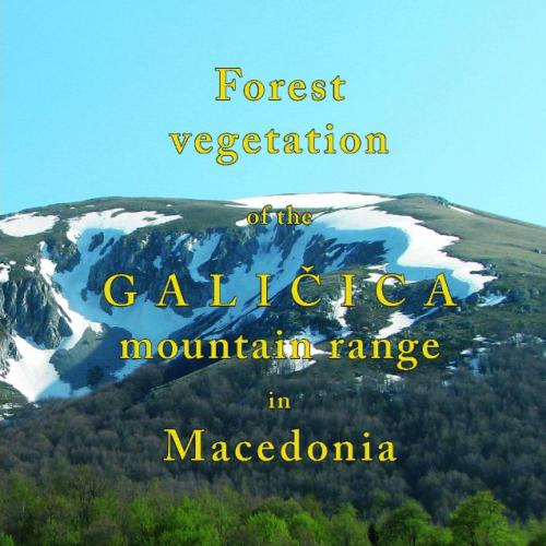
Project Forest Vegetation of the Galičica mountain range Project Duration: 1 June 2009–15 November 2010
Project Anthropological analysis of the Roman period archaeological sites from Slovenia Project Duration: 1 September 2005–31 August 2008 Project Leader: Petra Leben Selja, PhD ARIS Project ID: J6-7590
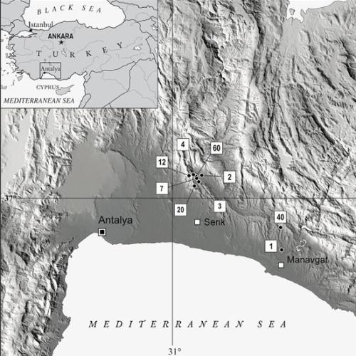
Project Analysis of the succession and structural changes during vegetation regeneration on the site of Pinus brutia forests after fire Project Duration: 11 November 2011–11 November 2011
Project Information system of Archaeological Heritage of Slovenia Project Duration: 1 January 2007–31 December 2009 ARIS Project ID: J6-9033
Programme Investigations into Literary History, Literary Theory and Methodology Programme Duration: 1 January 2004–31 December 2008 Programme Leader: dr. Darko Dolinar ARIS Project ID: P6-0024 (A)